
Sugar Flats
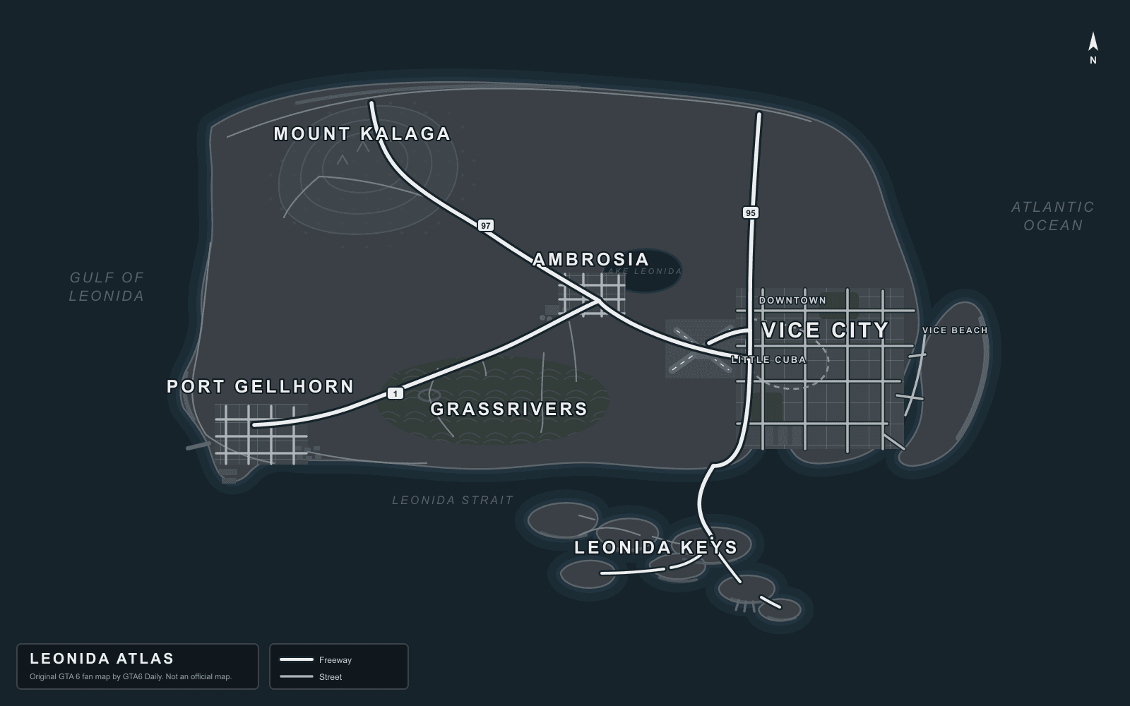
Sugar Flats is a likely GTA 6 lowland POI between Grassrivers and Ambrosia, tracked for flat rural roads, farmland edges, and wetland access.
Last updated July 7, 2026 | By Shantanu Patel
Location Notes
Sugar Flats is a likely descriptive marker rather than a confirmed Rockstar label. It helps organize the transition between swamp and farmland in central Leonida.
The location is useful for search clusters around rural roads, off-road vehicles, and sugar-industry landmarks. It may be renamed once the final map labels are available.
Nearby And Related
Allied Crystal Sugar
A likely industrial sugar facility marker for Ambrosia's working landscape.
Grassrivers Wetlands
The confirmed wetlands identity of GTA 6's rural Leonida map.
Ambrosia
A confirmed central Leonida region tied to industry, farms, and connecting highways.
Alligator Marsh
A likely wildlife-heavy marsh marker for alligator encounters and swamp navigation.